|
Historic
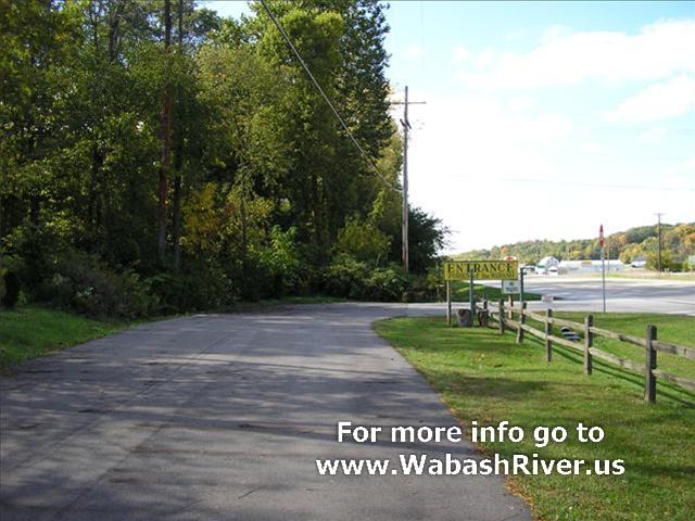
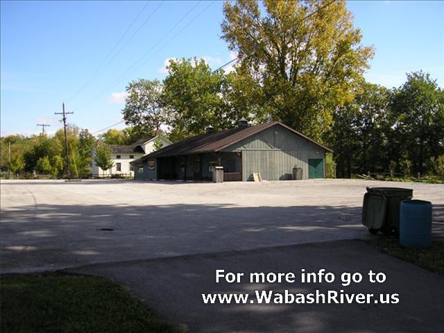
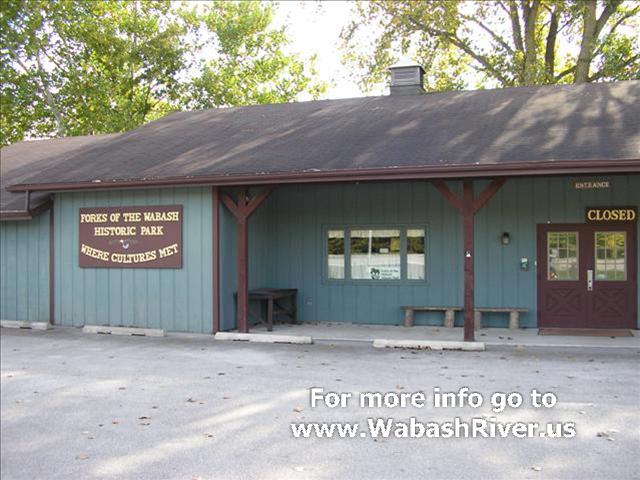
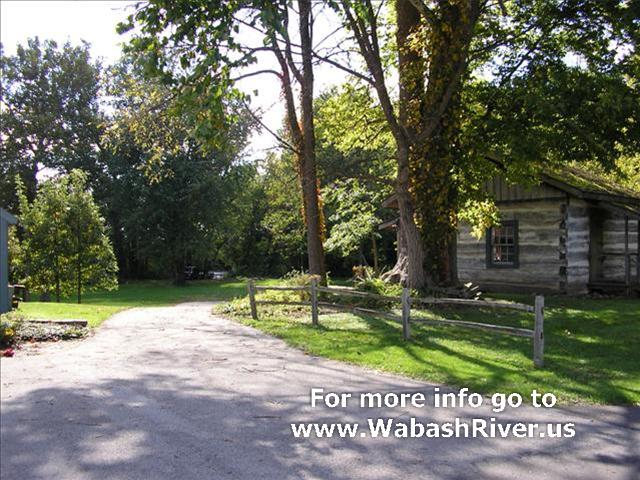
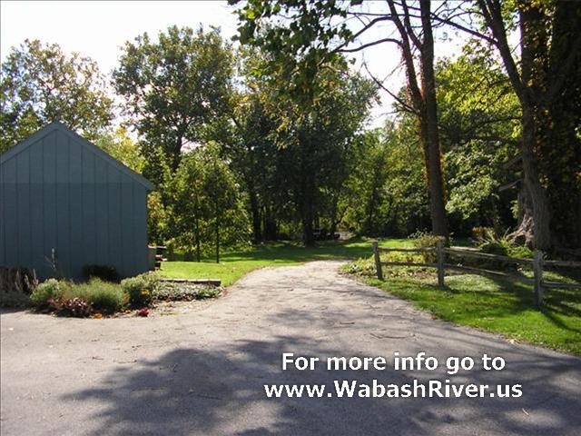
Forks of the Wabash
3010 W. Park Dr.
Huntington, IN
Located off US 24 (north of road), just west of SR 9.
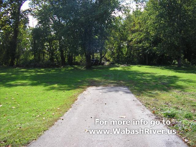
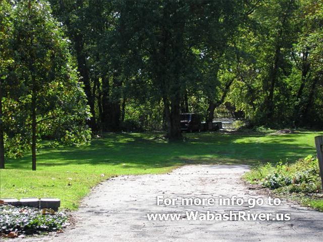
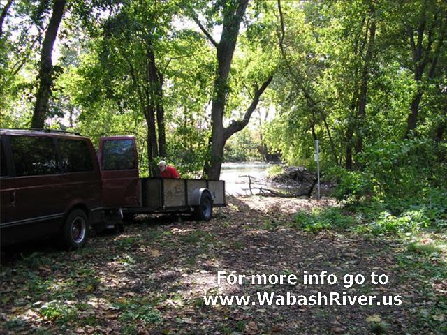
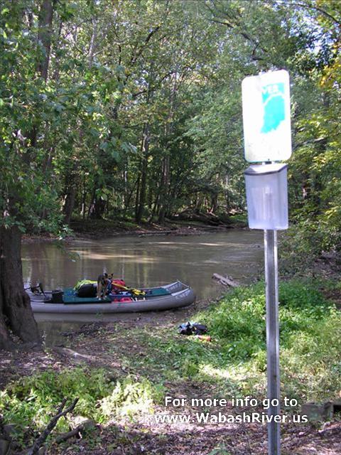
While you can drive down closer to the river for access,
it is a hand-carry site, with a carry of about 50 feet.
From the river, this access site is located on the right
bank, a short distance downstream of the SR 9 bridge.
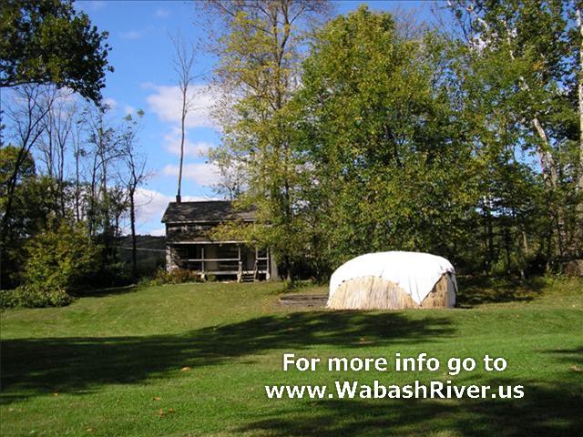
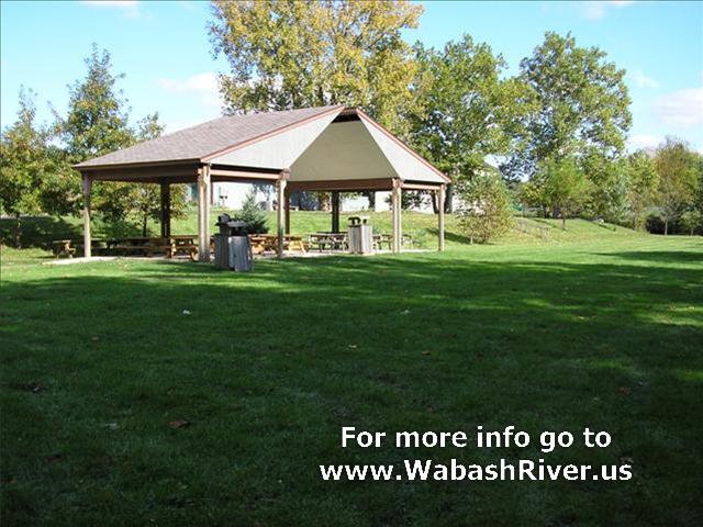
This access site also has a cultural history museum,
historic sites, and a picnic pavilion.
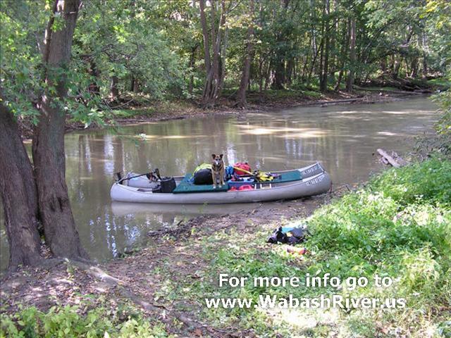
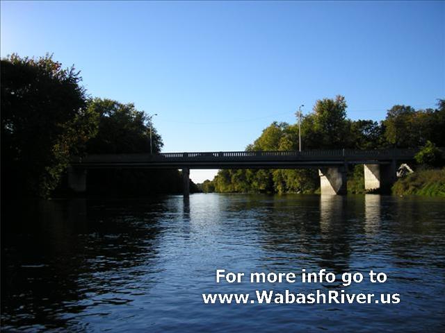
ACCESS POINT PHOTOS
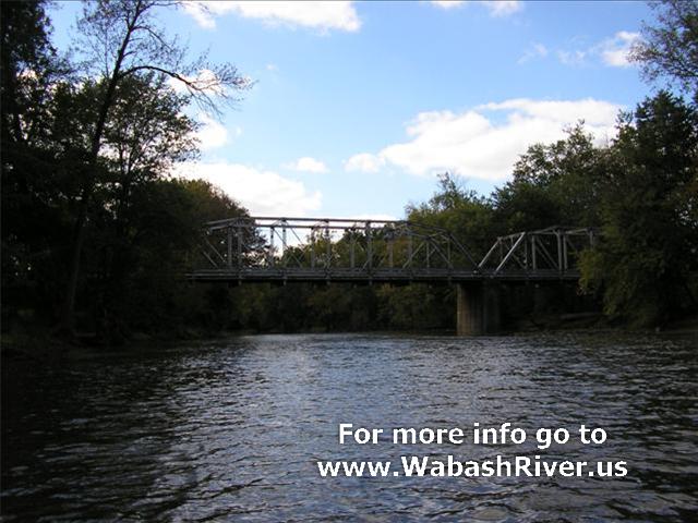
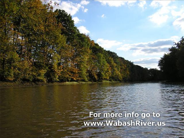
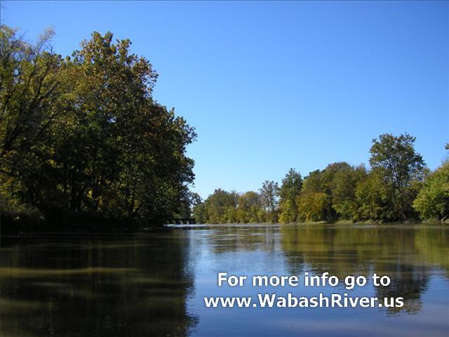
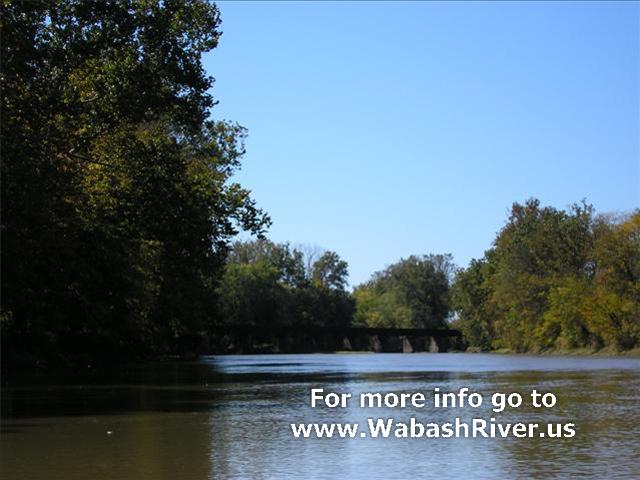
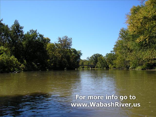
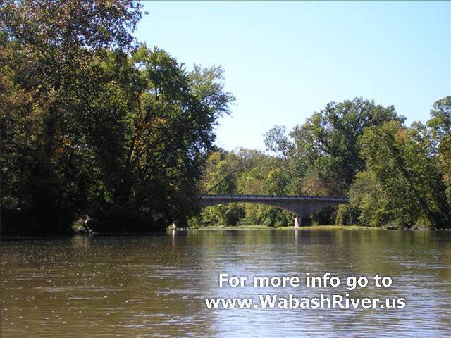
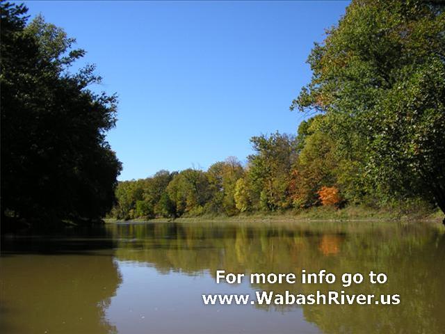
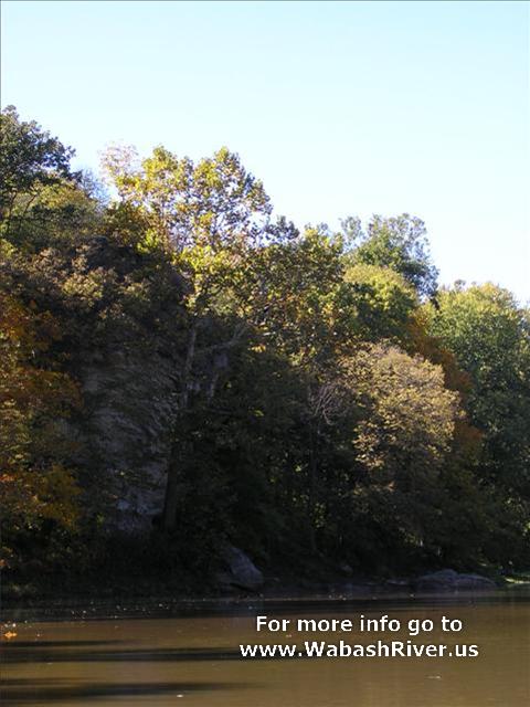
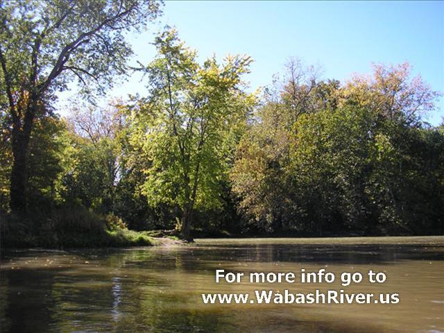
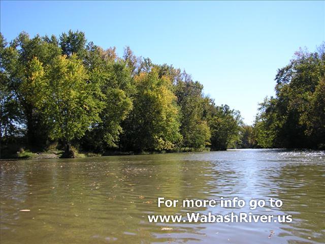
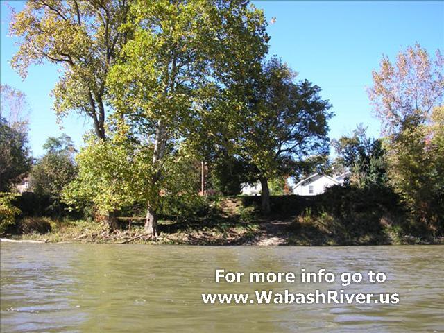
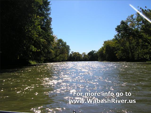
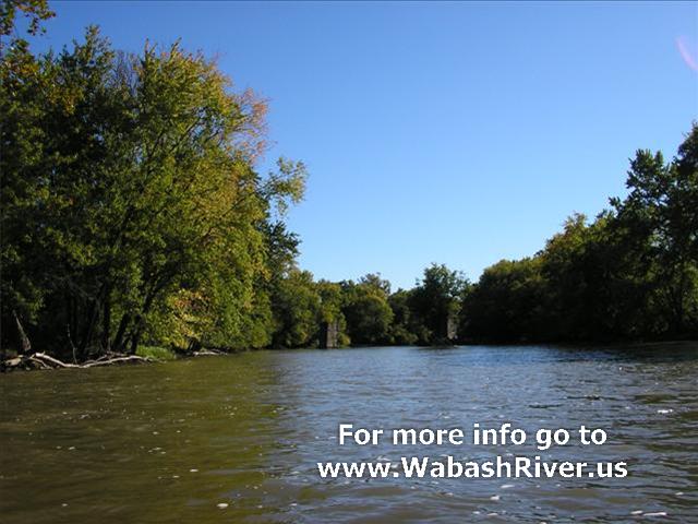
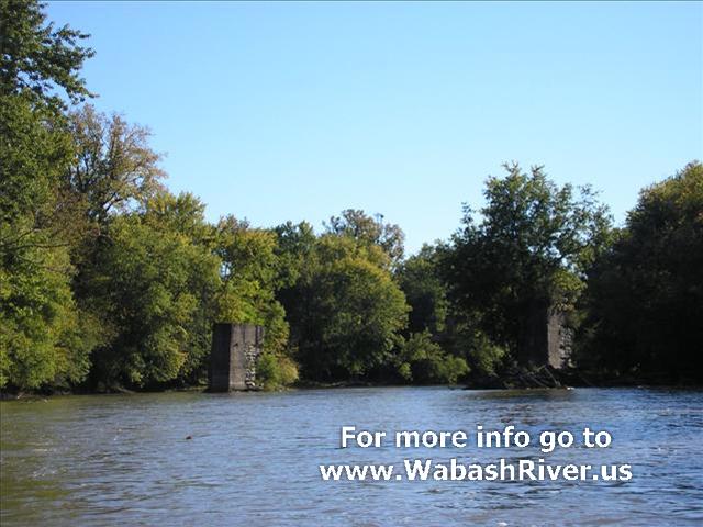
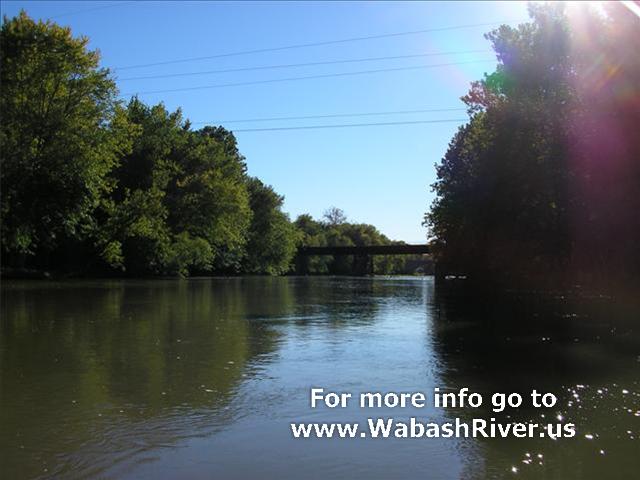
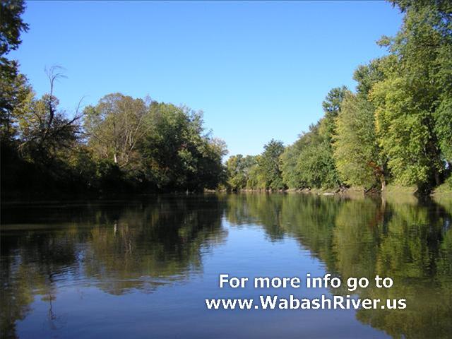
PHOTOS OF RIVER DOWNSTREAM TO NEXT ACCESS POINT
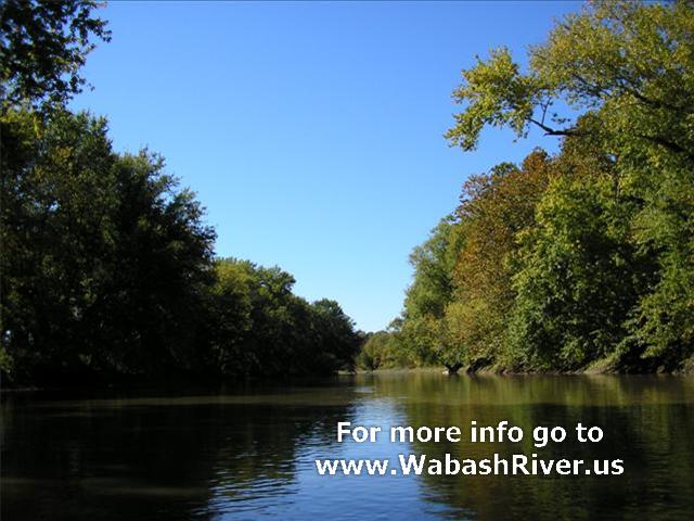
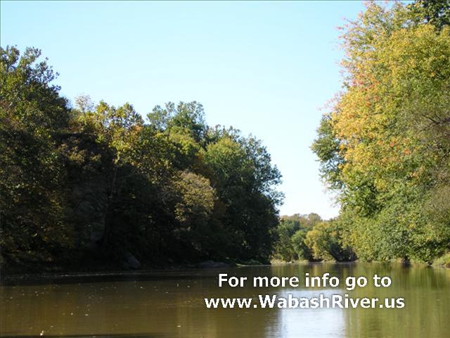
A few pictures of Hanging Rock...


The confluence of Salamonie and Wabash
Rivers near Lagro...
Looking upstream at the Salamonie River
while passing by...
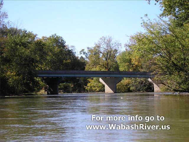
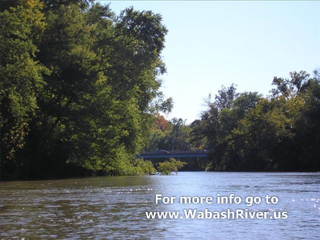
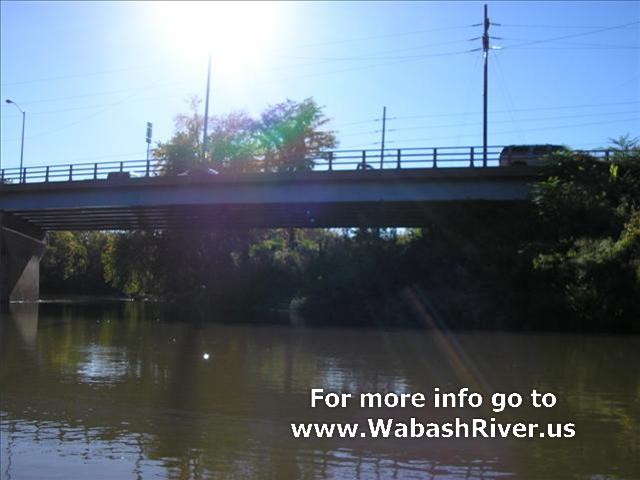
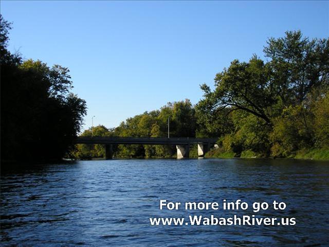
Approaching Wabash, Indiana...
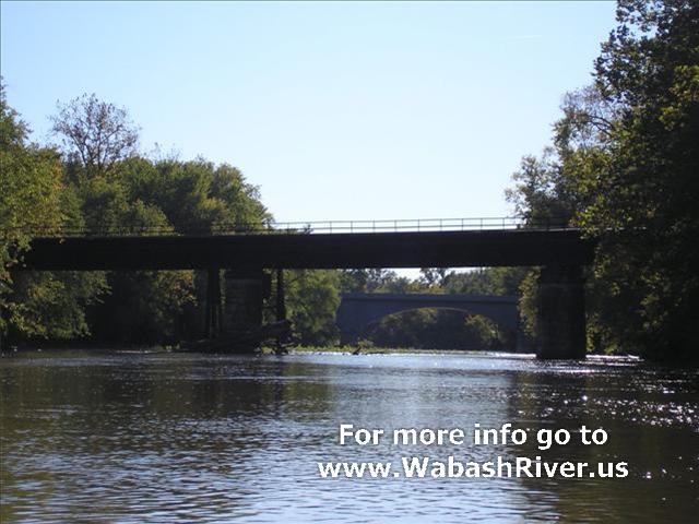
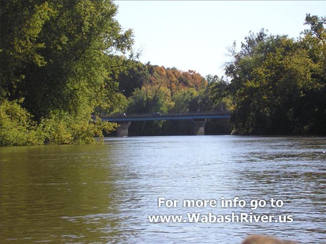
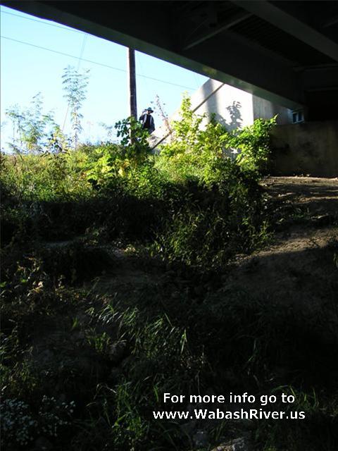
You can tie off under this bridge (SR
13/SR 15) on the right bank and walk up for food, fuel
and supplies.

|