|
CR 450 S (Wabash Road)
northwest of Mt. Vernon, Indiana
Take SR 62 W of Mt. Vernon, then go north on Raber Road,
then go west on Wabash Road (CR 450 S), where there is
a boat ramp sign. At the next intersection (by an old
pump of some sort) take a left and continue on gravel
road to Dogtown Ferry.
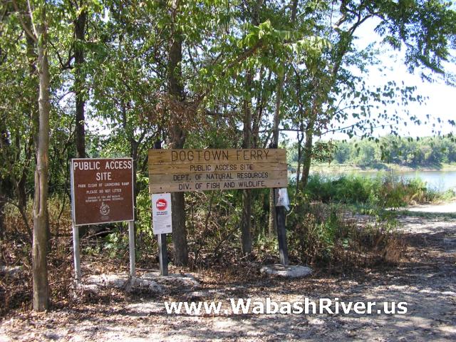
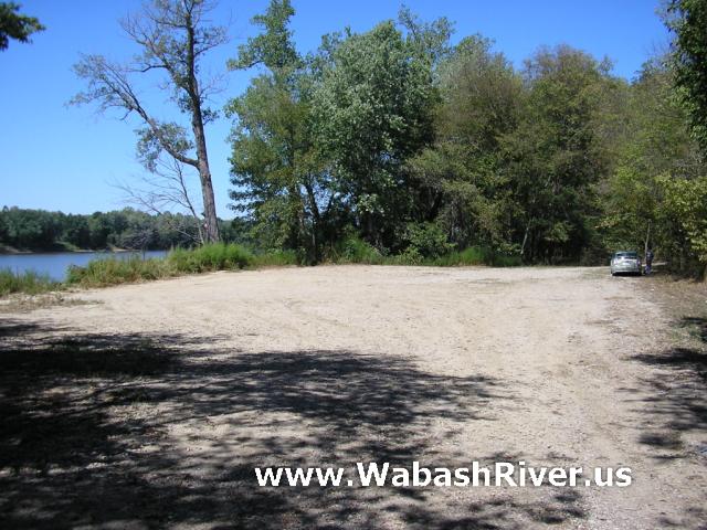
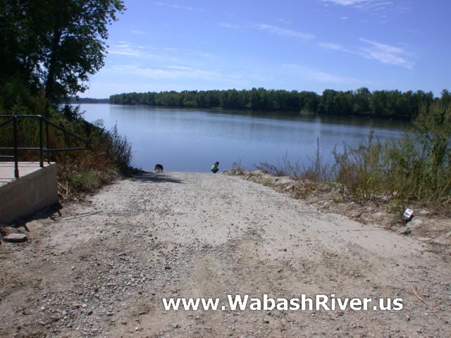
Managed by Indiana DNR, this access site has a paved
boat ramp and gravel parking lot.
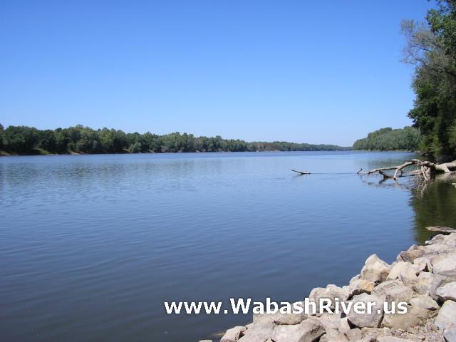
From the river, this access site is on the left bank
about 2 1/2 miles past a railroad bridge.
ACCESS POINT PHOTOS
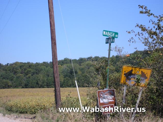
On Raben Road, north of SR 62...
Turn left onto Wabash Road to get to the access site.
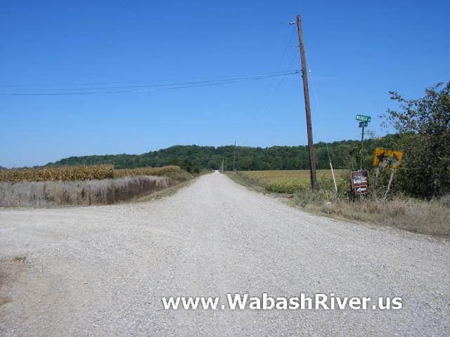
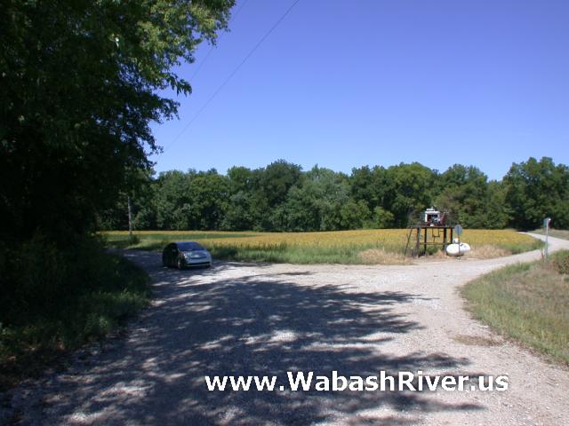
Getting to the access site...
Photographer is standing on Wabash Road. At this intersection
you should veer left to stay on Wabash Road all the way
to the access site.
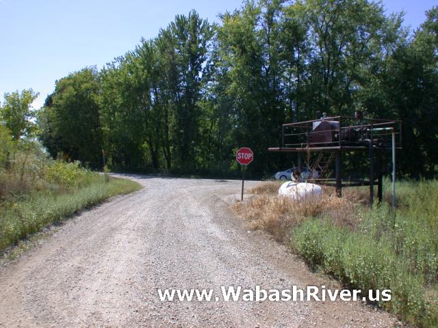
Photographer is standing on Ranes Road.
At this intersection it is Wabash Road either way. Turning
right leads to the access site. Turning left leads to
Raber Road.
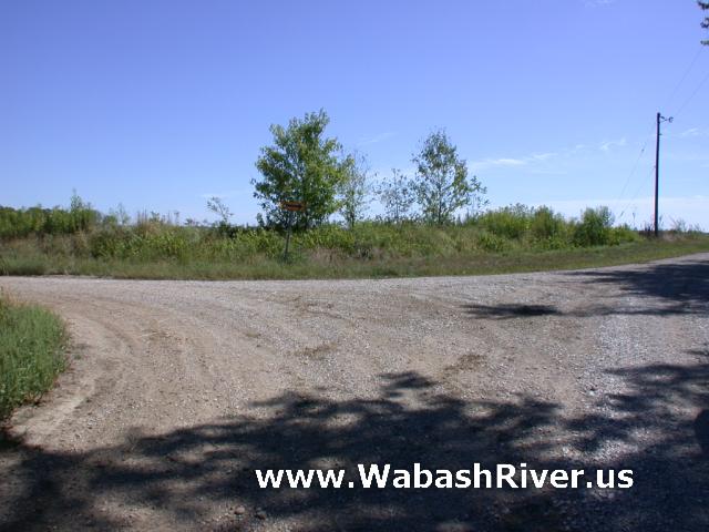
Leaving the access site...
Photographer is standing on Wabash Road. Take a right
at this first intersection to get to Raber Road and SR
62...
|