Wabash River in Indiana
Area Lodging | Local Weather | History | Links | Contact Us | Home

ACCESS POINTS:
Fort Quiatenon Park


South River Road
4 Miles Southwest of West Lafayette, Indiana

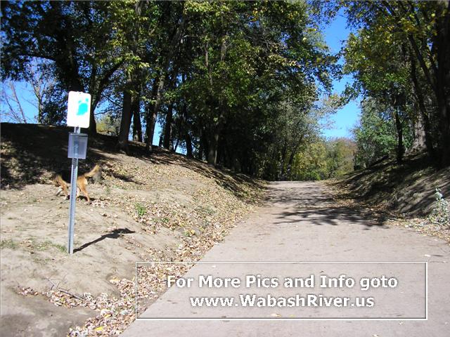
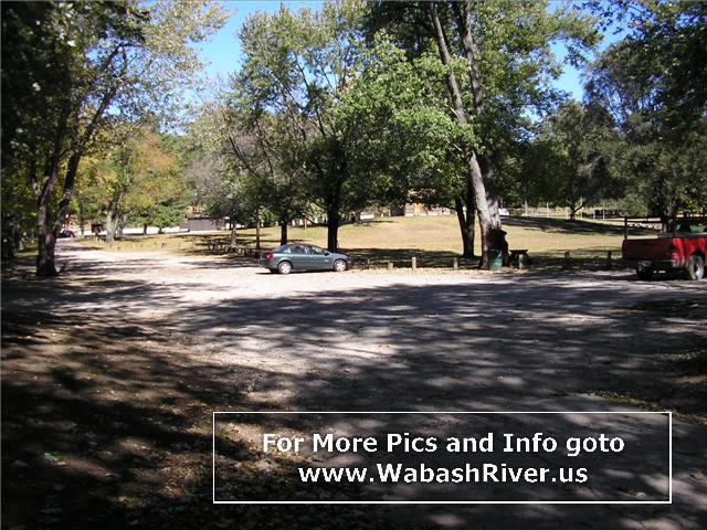
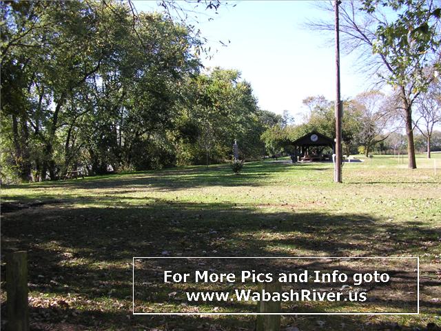
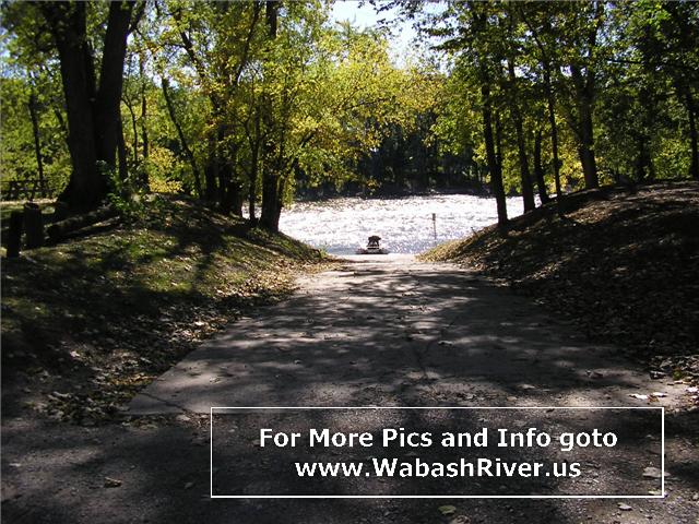
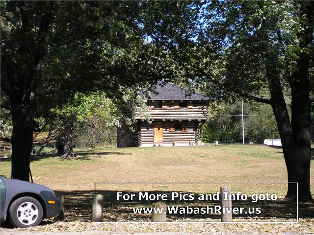
Managed by the Tippecanoe County Parks Dept., this access site has a paved boat ramp.

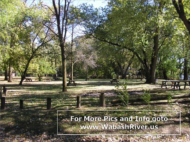
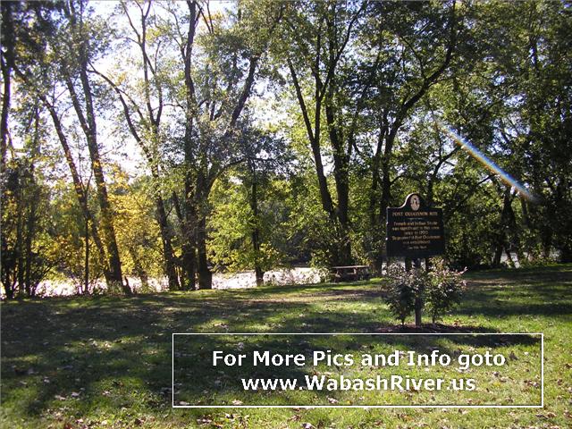
The park also offers parking lots, picnic areas, a picnic pavilion, historic markers, water, and restrooms.

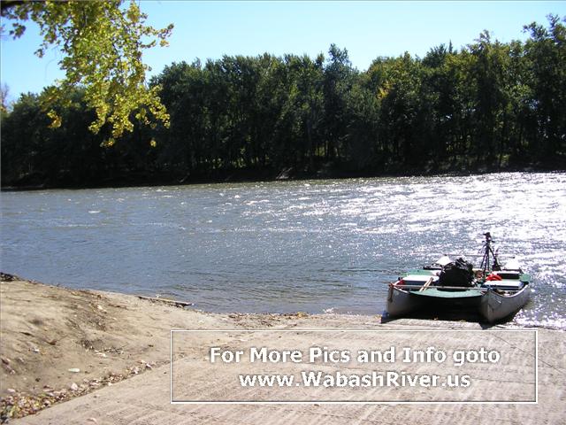
From the river, this access site is on the right bank about 2 miles downstream of the US 231 bridge, after a string of riverside homes on the right bank.
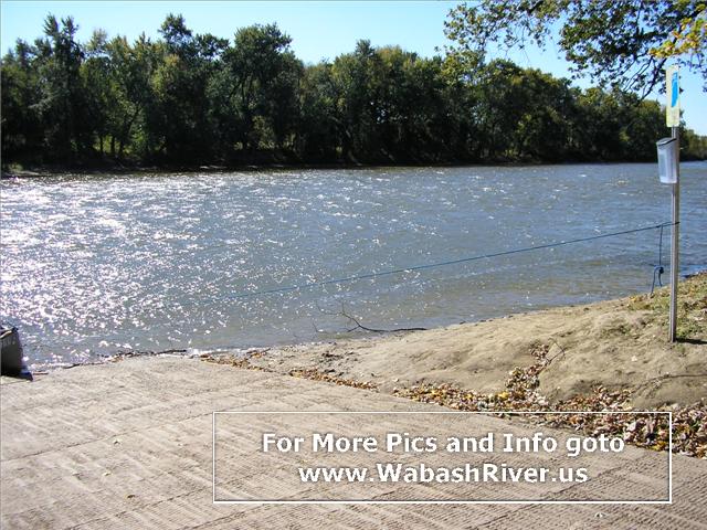
ACCESS POINT PHOTOS

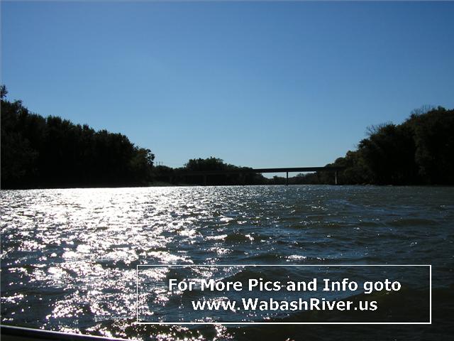
PHOTOS OF RIVER DOWNSTREAM TO NEXT ACCESS SITE

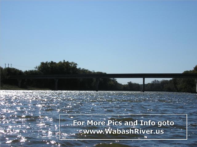
Approaching the CR 700 W (Granville Rd.) bridge (and the next access site)...


Important: The river is constantly changing. Hazards like log jams and tree falls will come and go often, so always be ready for them. Even islands and riverbends come and go over time. Riffles and sandbars will appear and disappear based on water flow levels. Do not attempt boating on this or any river during high water. Please be safe, respectful and responsible on the river.
Area Lodging | Local Weather | History | Links | Contact Us | Home
WabashRiver.us is made possible with the help of Banks of the Wabash
and the Christel DeHaan Family Foundation
copyright © 2007-2024 The Technological Edge, Inc. All rights reserved.