Wabash River in Indiana
Area Lodging | Local Weather | History | Links | Contact Us | Home

ACCESS POINTS:
Harmonie State Park Public Access Site


off SR 69
south of New Harmony, Indiana

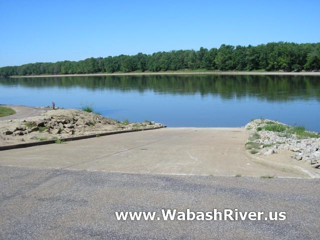
Managed by Indiana DNR, this access site has a paved boat ramp and turnaround.

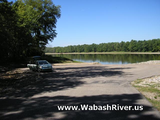
This site also has a large paved parking lot, potable water, a picnic table and grills. A larger picnic area and restrooms (pit toilets) are an easy walk north along the bank.

From the river, this access site is on the left bank about 3 1/2 to 4 miles past the bridge and access site at New Harmony.

ACCESS POINT PHOTOS

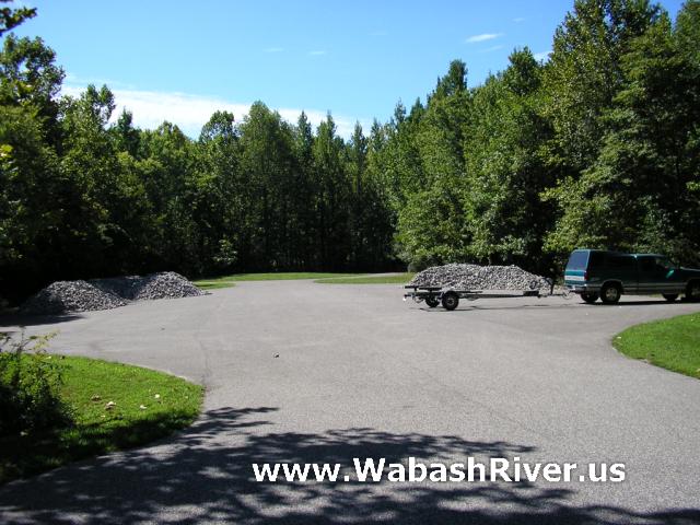
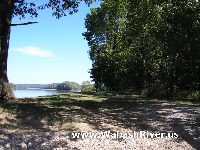
Follow this path to the larger picnic area and restrooms...

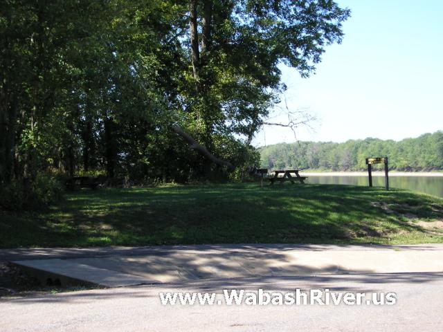
Picnic area right by the ramp...
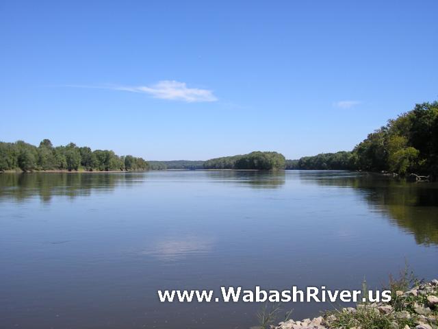
Looking upstream...

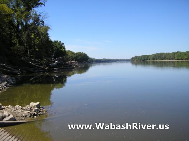
Looking downstream...


Important: The river is constantly changing. Hazards like log jams and tree falls will come and go often, so always be ready for them. Even islands and riverbends come and go over time. Riffles and sandbars will appear and disappear based on water flow levels. Do not attempt boating on this or any river during high water. Please be safe, respectful and responsible on the river.
Area Lodging | Local Weather | History | Links | Contact Us | Home
WabashRiver.us is made possible with the help of Banks of the Wabash
and the Christel DeHaan Family Foundation
copyright © 2007-2024 The Technological Edge, Inc. All rights reserved.